Augmented Reality in Maps and Navigation
Augmented Reality in Maps and Navigation


Introduction
Digital navigation has evolved far beyond displaying simple lines on a map. Augmented Reality (AR) combines digital information with the physical environment, allowing navigation directions to appear directly over streets, buildings, and surroundings. Instead of constantly switching between a map and the real environment, users can see relevant navigation information directly within the space where they are moving.
Pishgaman Lotus focuses on software development, user experience design, and intelligent technologies, creating opportunities to use augmented reality for new experiences in mapping, transportation, and location-based services.
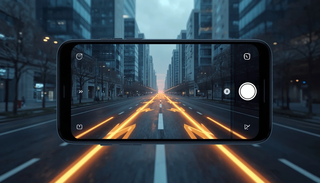
How Is Augmented Reality Changing Navigation?
Traditional navigation usually requires users to look at a two-dimensional map and translate the information on the screen into the physical environment. This can become confusing at complex intersections, crowded streets, or locations with similar-looking buildings.
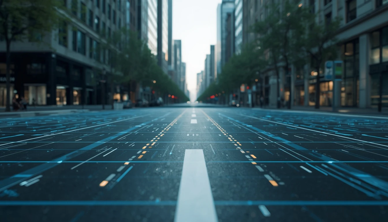
AR navigation places digital information directly over the camera view of the real world. A virtual arrow, for example, can indicate the correct direction on a street, while a digital marker can identify the entrance to a building or store. Pishgaman Lotus can combine user interface design, location-based data, and intelligent technologies to create navigation experiences that provide useful information without unnecessary complexity.
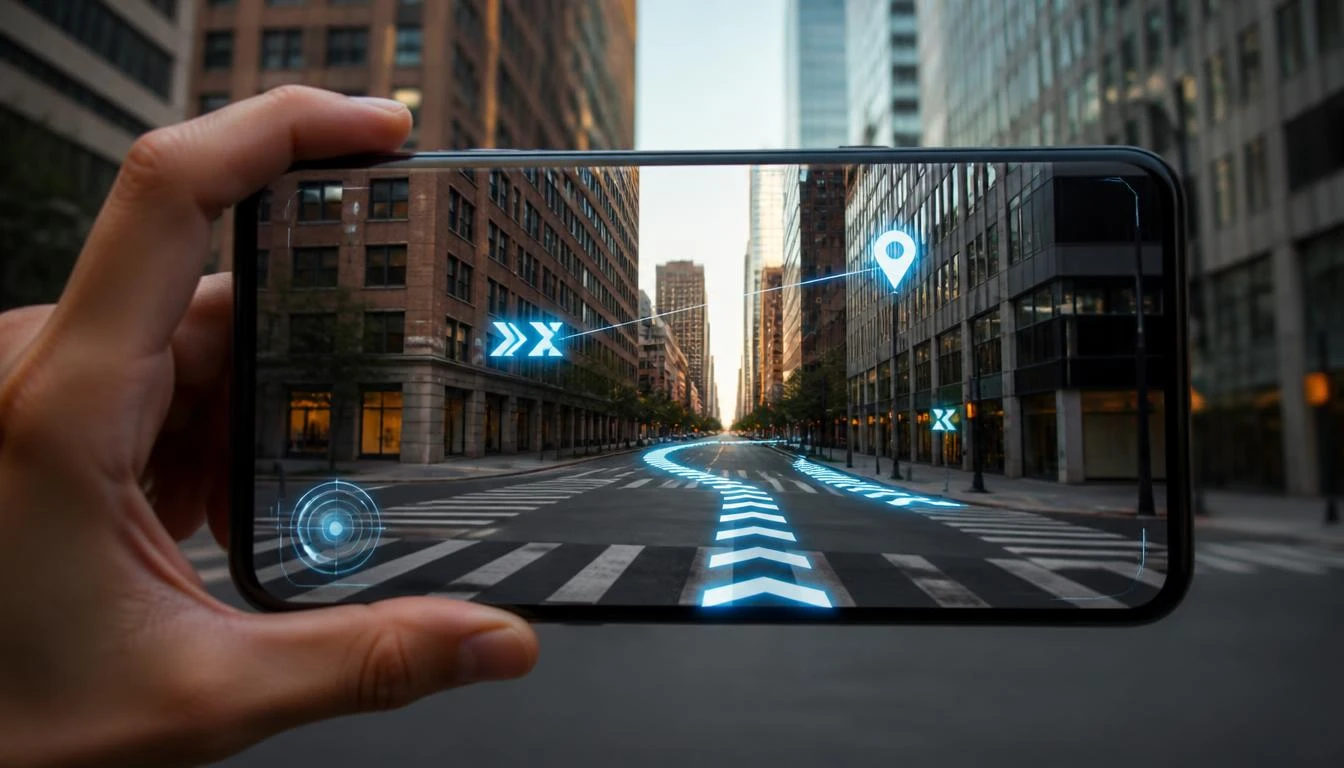
The Role of GPS, Cameras, and AI in AR Navigation
Accurate AR navigation depends on the combination of several technologies. GPS provides the user's approximate location, while cameras capture the surrounding environment and device sensors provide information about orientation and movement.
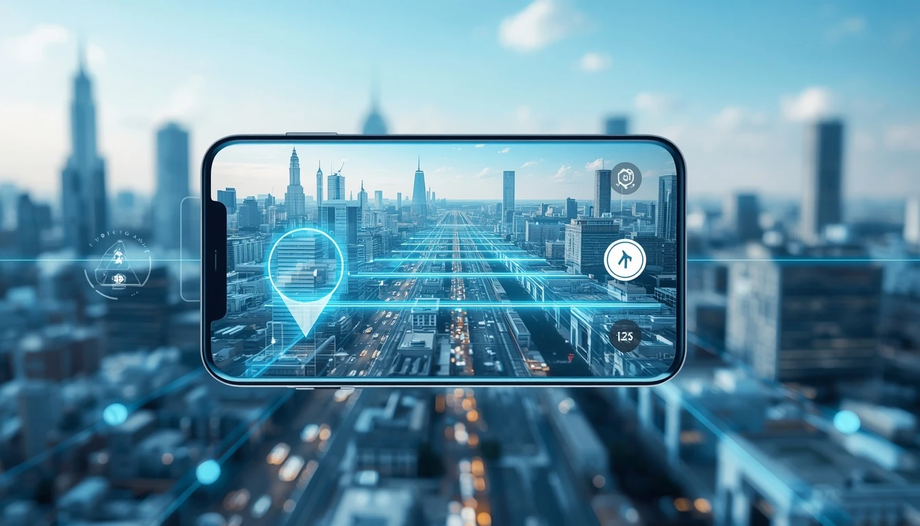
Artificial intelligence and computer vision can also help identify buildings, streets, signs, and other environmental elements. This information allows the system to position digital content more accurately within the real world. Pishgaman Lotus can combine these technological layers with software development and product design to create more integrated navigation experiences.
AR for Pedestrian Navigation
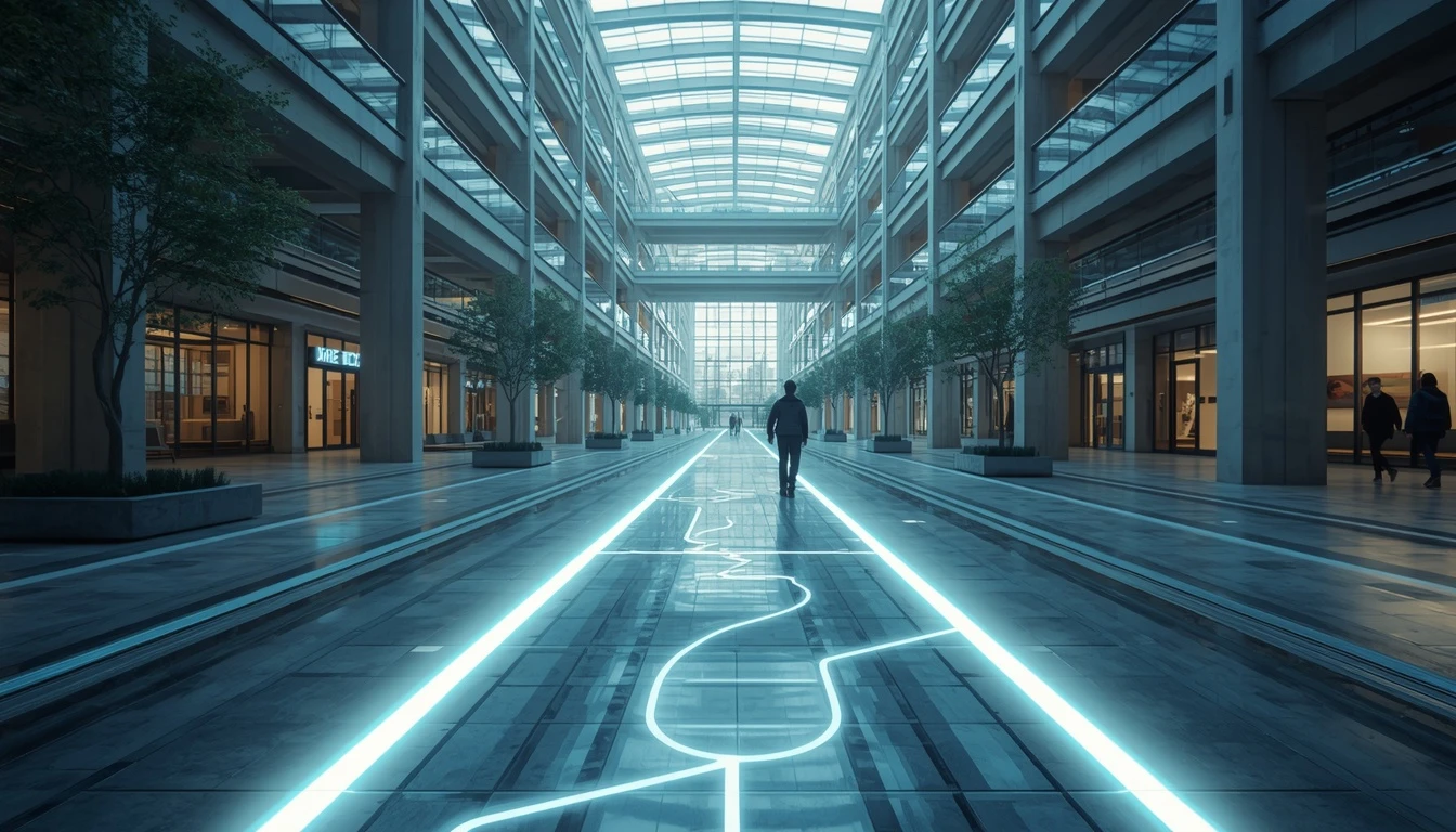
One of the most important applications of AR is pedestrian navigation. In this scenario, a route can appear as virtual visual guidance along real streets or paths. This can be useful for finding building entrances, public transportation stations, shopping centers, universities, airports, and tourist attractions.
For someone entering a large complex for the first time, following a visual path through the physical environment can be easier than interpreting a complicated map. Pishgaman Lotus can contribute to such experiences by designing user interfaces that are adapted to real-world conditions and user needs.
Augmented Reality in Vehicles and Transportation
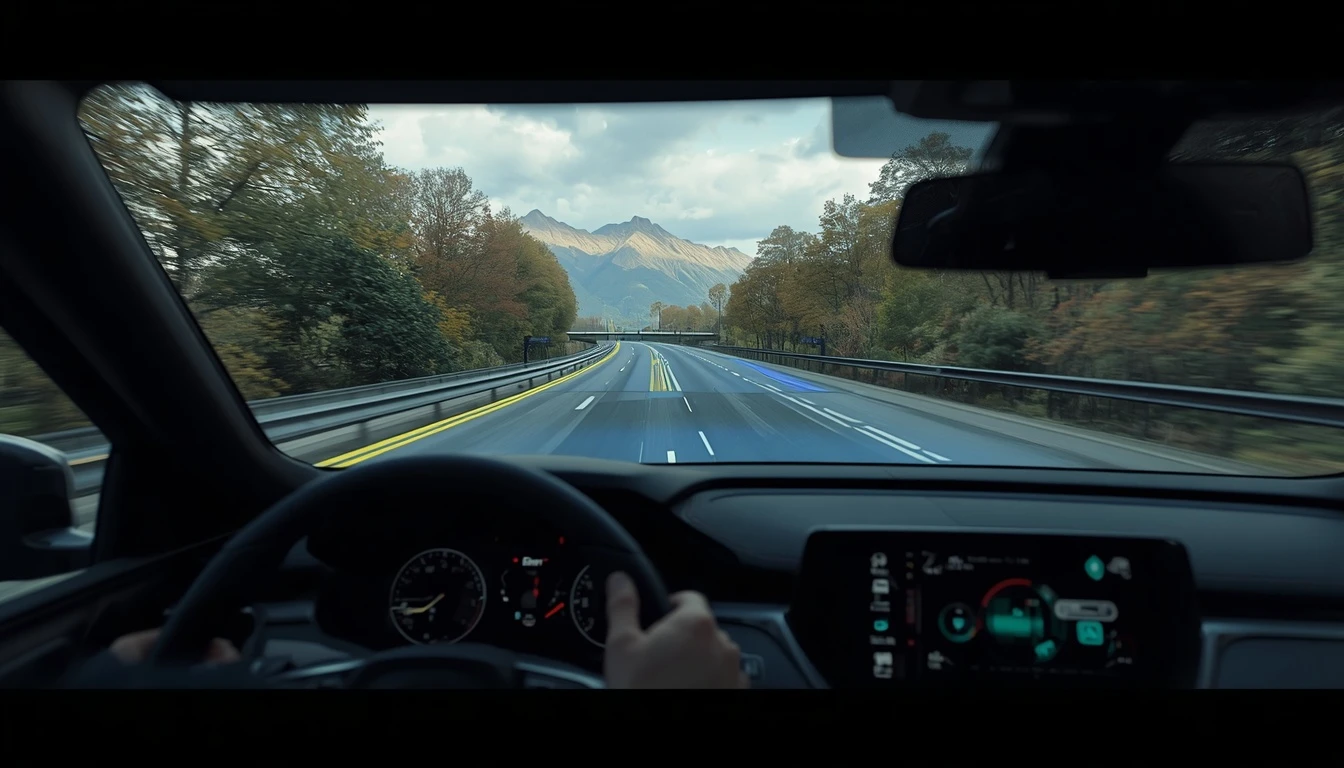
Augmented reality is not limited to smartphones. It can also be integrated into vehicle systems, including augmented navigation displays and head-up displays.
In these systems, information such as upcoming turns, exits, or destinations can appear in a position that corresponds naturally with the real environment. This approach can reduce the need to repeatedly look at separate screens and place navigation information directly within the driver's visual context.
By combining UX, software development, and artificial intelligence, Pishgaman Lotus can contribute to software solutions for smart transportation and location-based services.
Challenges of Using AR for Maps and Navigation
Despite its potential, developing accurate AR navigation systems comes with several challenges. Positioning accuracy, camera quality, lighting conditions, processing speed, battery consumption, and the alignment of digital information with the physical environment all need to be considered.
The user interface must also avoid overwhelming users with excessive information. Too many digital elements can become distracting rather than helpful. For this reason, Pishgaman Lotus can focus on combining technology with effective UX, optimized performance, and simple interactions when developing such solutions.
The Future of Maps and Navigation with AR
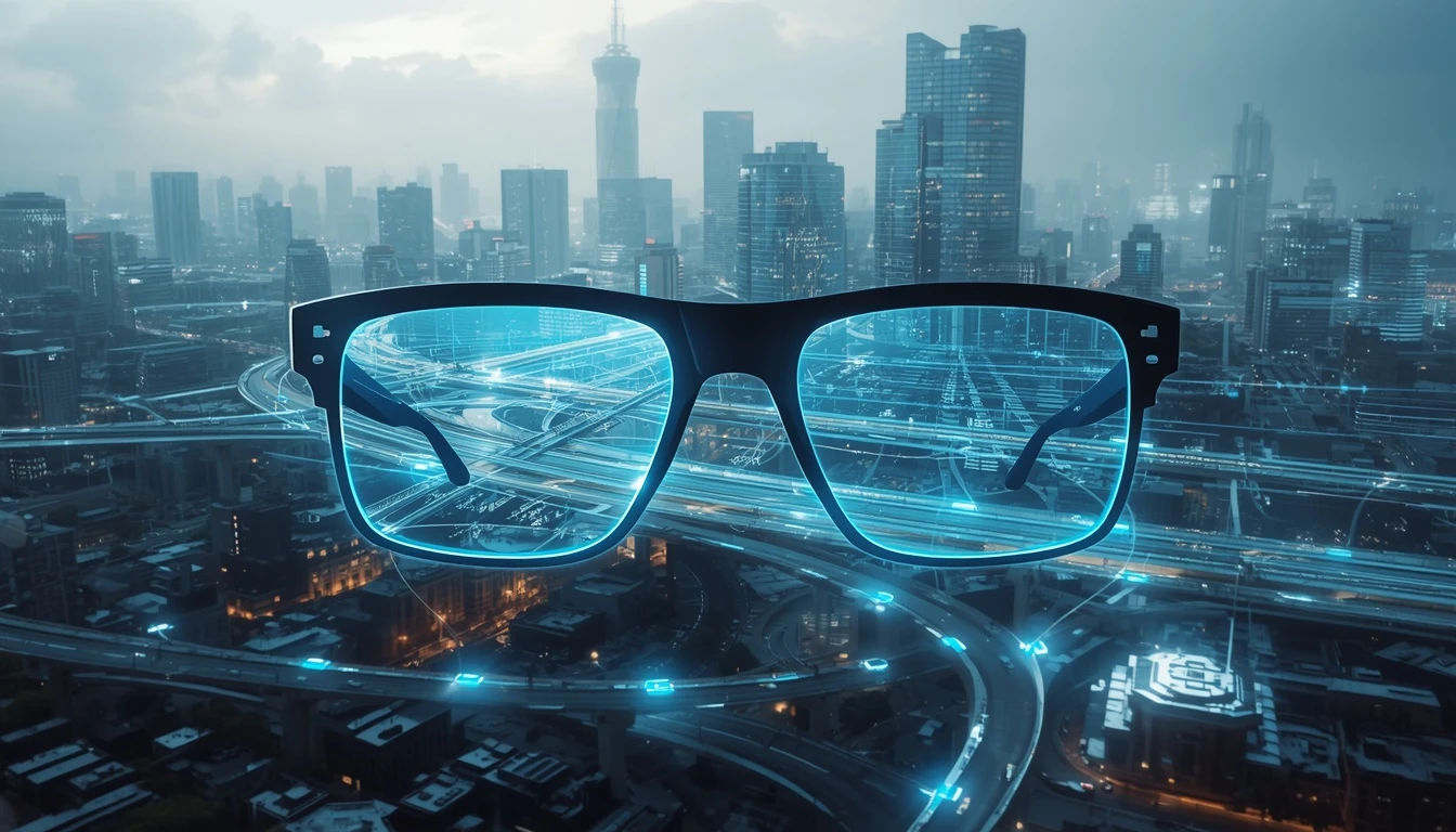
The future of navigation may move toward experiences in which the boundary between digital maps and the physical environment becomes less visible. As smart glasses, computer vision, artificial intelligence, and location-based technologies continue to develop, users may increasingly receive navigation information without constantly looking at their smartphones.
Future systems could analyze the surrounding environment and provide information about destinations, buildings, public services, and important landmarks in real time. Pishgaman Lotus can leverage artificial intelligence, software development, UI/UX design, and emerging technologies to explore new digital experiences for mapping and location-based services.
Conclusion
Augmented reality has the potential to change how users interact with maps and navigation systems. Instead of simply displaying a route on a digital map, AR can place navigation information directly into the physical environment, making it applicable to pedestrian navigation, vehicles, indoor navigation, and smart transportation.
Turning this technology into a practical product requires more than AR itself. Accurate location data, artificial intelligence, interface design, software performance, and user experience are all essential. Pishgaman Lotus can combine its capabilities in artificial intelligence, software development, and UI/UX product design to develop innovative solutions in this field.
Our articles:"AR and Generative AI: The Future of Augmented Reality"

Have special project to begin?
Contact us if you need a unique website for your special requirements, if you think having a mobile application help you reach your business’s goals or you still do not recognize which product can help you implement your ideas. Lotus Pioneers accompany you to develop your business through consulting and by designing special products.